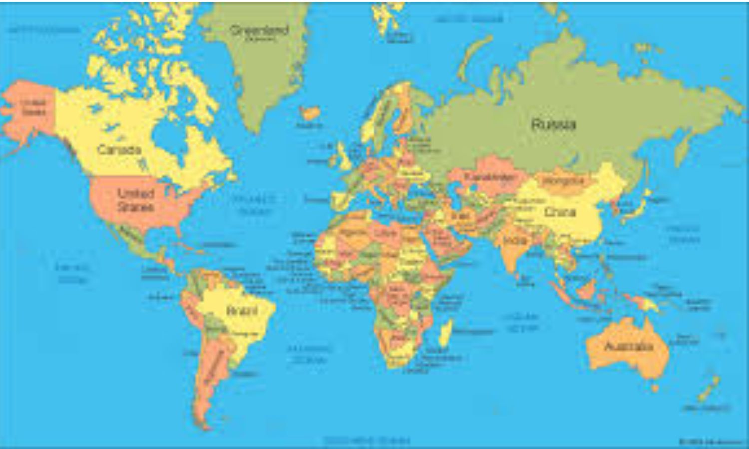
Every two-dimensional world map tells an inevitable mathematical lie. Flattening an oblate spheroid onto a rectangular sheet without stretching, tearing, or compressing physical terrain is geometrically impossible. In 1569, Flemish cartographer Gerardus Mercator solved a specific problem for maritime sailors: how to navigate open oceans using a straight line on a flat chart. His solution preserved shapes and angles, meaning a ship sailing along a constant compass bearing, known as a rhumb line, could trace a single straight course across his grid.
To preserve these local angles, Mercator had to increase the spacing between lines of latitude as they stretched away from the equator toward the poles. That technical compromise created extreme equatorial map distortion. Near the equator, where latitude lines stay close together, landmasses retain their true geographic surface area relative to the grid. Toward the Arctic and Antarctic circles, landmasses stretch exponentially.
Greenland offers the clearest demonstration of this artifact. On a standard Mercator projection, Greenland appears roughly equal in size to the entire continent of Africa. In reality, Greenland covers 836,330 square miles, while Africa spans 11,724,000 square miles. Africa is roughly 14 times larger. Alaska looks larger than Brazil on Mercator charts, yet Brazil spans 3.28 million square miles, nearly double Alaska’s 665,384 square miles. When applied to continental landmass scale, this 16th-century marine chart turns North America into an optical giant.

